RESOURCES
A place full of know-how
We value, stretch and learn from the innovation already going on here, with a focus on whole systems, connections and being people-centred. We add resources to this section regularly in response to what is happening on the ground. What's missing? Please let us know there's something that would help you sense your bioregion.

Our work is all about learning because none of us have had to grapple with such momentous challenges before: we are learning as we go. In bringing challenges like climate change down the manageable scale of our place, South Devon, and opening up conversations that lead to action, we are creating a learning region.
When we started on this journey back in 2017 we knew that learning would be one of the most useful things we could offer. We document and share our learning, organise Learning Journeys, host action learning groups, give talks and teach, and bring our design skills to everything that we do.
Expand your horizons
For those new to systems thinking, the video offers accessible explanations of how to make systems visible by "joining up the people that are a part of it" and facilitating conversations about "seeing the system and then co-designing a more sustainable future together". This provides both conceptual understanding and practical advice for implementing systems approaches.

The South Devon bioregion and the systems within it
How to practice bioregioning
Bioregioning invites us to develop a deeper relationship with our places—understanding the geological foundations, ecological systems, and human patterns that shape our regions. We encourage you to use, adapt, and share these resources with your own communities. They serve as starting points for conversations and collaborative action within your bioregion.
How to do Bioregioning
We made this diagram primarily to share with members of the UK Bioregional Community of Practice to summarise our thinking about important components of a flourishing bioregion and how to step into bioregional thinking.
Action learning initiatives
Testing and refining innovative solutions for community resilience in South Devon. These projects allow us to adapt faster than the rate of change by learning directly from real-world challenges.
Explore our projects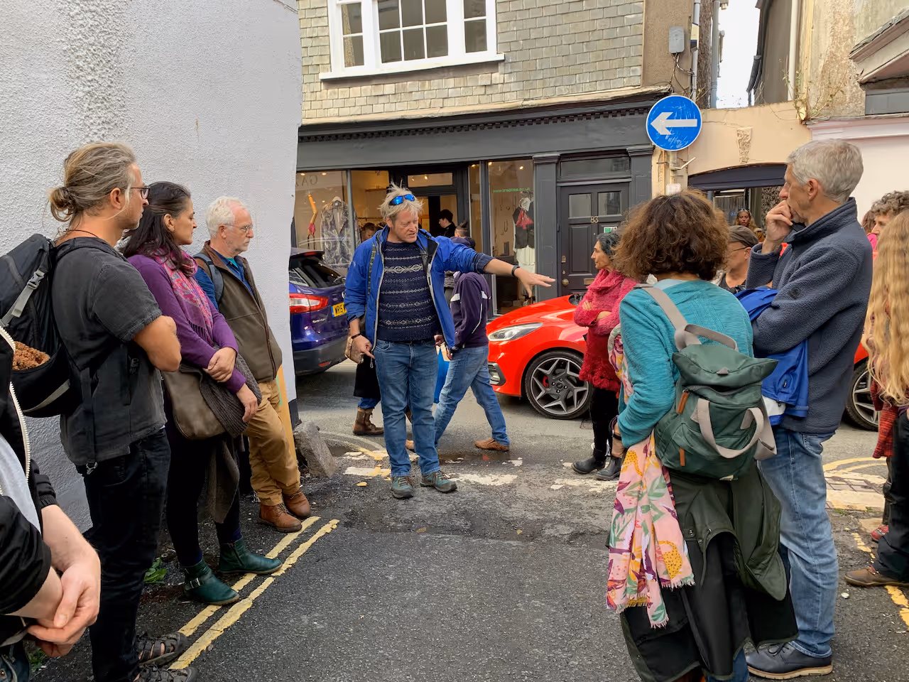
Communicating through film
Using visual storytelling, we connect people with their bioregion through compelling films and animations. These narratives highlight the beauty and complexity of South Devon’s landscapes while inspiring action and awareness around key issues like climate adaptation and ecological restoration.
Visit our YouTube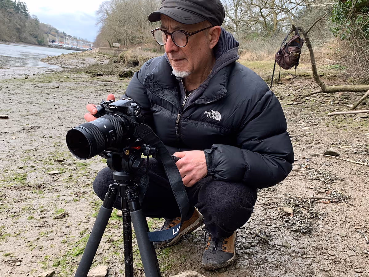
Bioregional conversations
Bioregional Conversations is a global network of practitioners dedicated to sharing insights and strategies for sustainable living. Through regular dialogues and collaborative projects, we explore how bioregional approaches can address local and global challenges, fostering a community of learning and innovation.
Join the conversation
Resources to support your bioregional journey
Explore our curated collection of tools, guides, and case studies designed to help you learn, collaborate, and take meaningful action—anytime, anywhere. These resources track our journey and are here to spark ideas for ways for you to become familiar with your bioregion.
April 2021
How to Make a River Charter
We made this guide for communities up and down the River Dart. You are welcome to adapt it for your river. Once you have a group of allies assembled who are keen to move forward get in touch for a group conversation about how to move forward.
June 2020
Bioregioning for Positive Change
These cards highlight how you can engage in a range of actions to inspire positive change in your bioregion.
June 2020
Bioregioning Ways In
This diagram shows what you would see happening in a flourishing bioregion.